Description
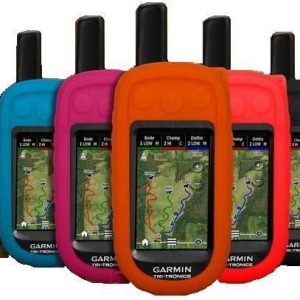
Get detailed raster maps with this 1-year subscription. You can quickly download and transfer USGS and NRC raster maps to your Astro 320 handheld device using BaseCamp™ software.
Download and transfer an unlimited amount of BirdsEye TOPO, US and Canada maps for one year using BaseCamp software.
You can also layer BirdsEye rasters with other Garmin topographic maps on your handheld for an even better experience.
With 24K scale USGS raster maps and 50K scale NRC raster maps, you will have a new level of detail specifically where you need it most. In a few quick steps, you can access any area in the United State and Canada, download the maps to your computer, and then transfer them to your Garmin Astro 320.
Subscription may be used on only one Garmin device. Please purchase additional subscriptions for additional devices.


Reviews
There are no reviews yet.